Map
A moving map display that shows the UAV's current position, waypoints and geofence.
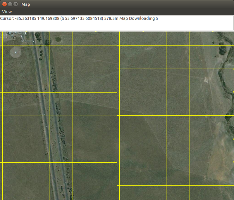
Maps are automatically downloaded and cached to the user's hard drive. The module will use these files if an internet connection is not found.
To display the waypoints and geofence, the wp list and fence list commands can be used.
Waypoint editing is allowing by right-clicking to select waypoint and then right clicking to move it to that point.
To draw a set of waypoints, use the wp draw command. Right click on the map for the desired waypoints. When finished, use the wp loop to connect the last waypoint to the first one, creating a loop.
module load map
Use the "g" key to specify a position to move the map to.